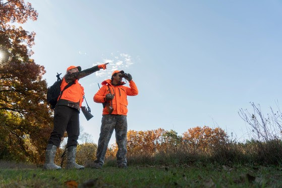
Photo courtesy of Wisconsin DNR
With millions of acres of public land available across the state, the DNR offers a mobile app and online tools aiming to simplify finding a hunting spot.
Check out the app: https://dnr.wisconsin.gov/topic/hunt/wildwiapp.html
The app includes maps, cover types, shooting hours and CWD testing locations.
Additional online public land mapping tools include:
- Fields and Forest Lands Interactive Game Bird Hunting Tool (FFLIGHT) to locate young aspen and alder habitat, woodcock and ruffed grouse hunting areas, pheasant-stocked public hunting grounds and public-access dove fields.
- Voluntary Public Access-Habitat Incentive Program (VPA-HIP) interactive map to provide landowners financial incentives to open their properties year-round to public hunting access. Hunters should read the guidelines for accessing VPA properties.
- Map of lands enrolled in Managed Forest Law and Forest Crop Law to scout locations in the central and northern forests.
- Public Access Lands Atlas includes all DNR properties as well as nearly all federal and county-owned lands. Hunters should contact landowners beforehand to verify hunting is allowed.
Leave a Reply